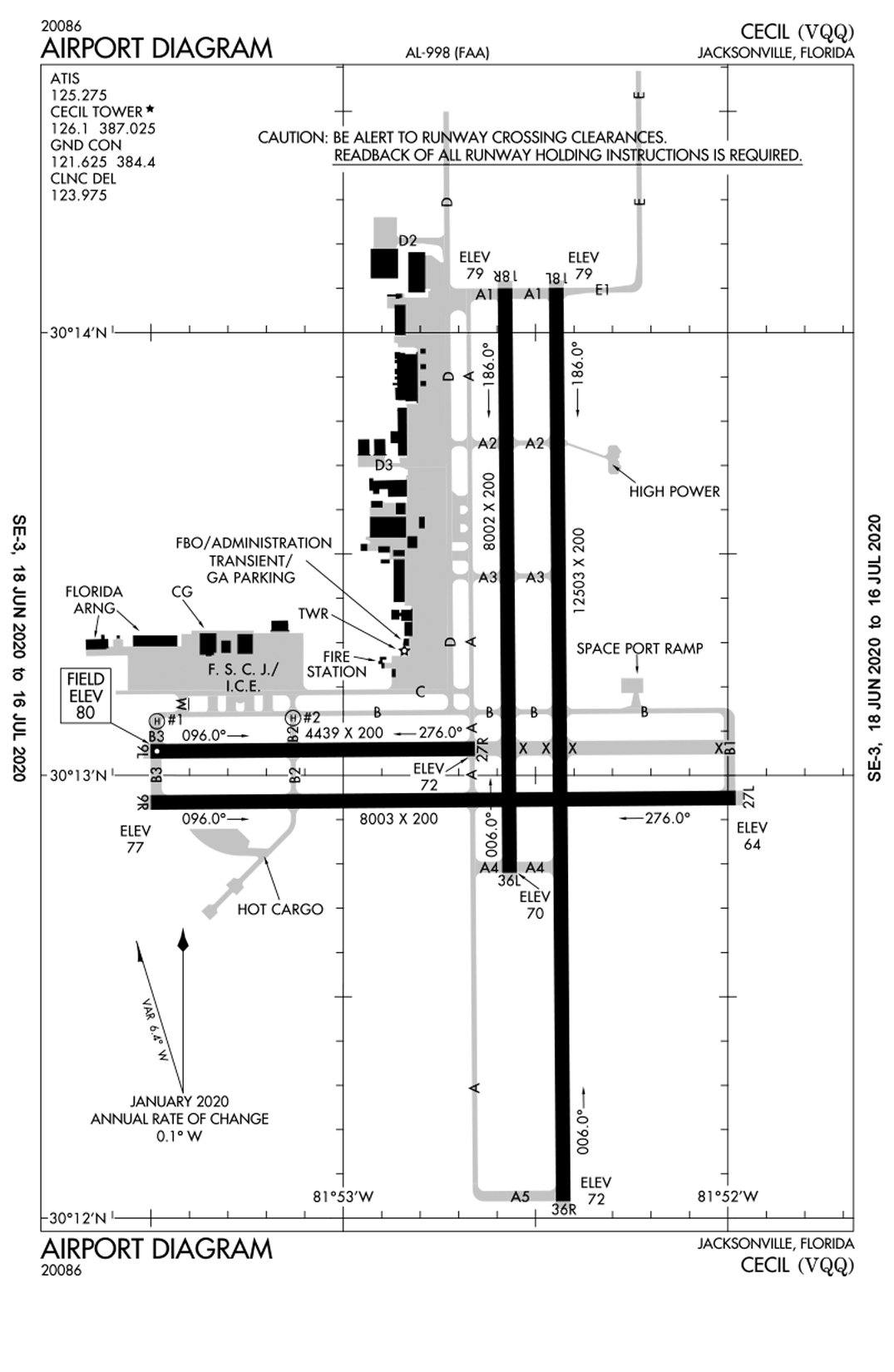
Cecil Airport/Airfield Information
Airport Coordinates: N3012.98’ W8152.49’
Airport Elevation: 81 ft.
Communications: ATIS 125.275
GROUND 121.625
TOWER/CTAF 126.1
JAX APPROACH 123.8
UNICOM 122.95
Ground Communications Outlet (GCO): 121.725 Used for communicating with Jax Approach (4 clicks) or Gainesville Flight Service Station (6 clicks).
Runways
Both asphalt and concrete
Four active runways, all served by full-length parallel taxiways
o 9L/27R – 4,300 feet long by 200 feet wide
o 9R/27L – 8,000 feet long by 200 feet wide
o 18L/36R – 12,500 feet long by 200 feet wide
o 18R/36L – 6,000 feet by 200 feet wide
Lighting
Two outboard runways equipped with High Intensity Runway Lights (HIRL) and Precision Approach Path Indicator Lights (PAPI)
Medium Intensity Approach Lighting System (MALSR) on Runways 9R and 36R
Runway End Identification Lights (REIL) on Runways 27L and 18L
Instrument Approaches
ILS 36R (I-VQQ 109.5)
GPS 9R, 27L, 18L, 36R
Airport Services
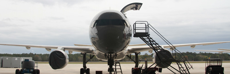
Full-service fixed based operator (FBO): Million Air
24/7 Aircraft Rescue Firefighting Facility on site
FAA Contract Air Traffic Control Tower
Airfield Features
Compass Rose
Wash Rack
AWOS